If you are employed as a GIS Analyst, you already have prepared your work environment and workflow. You have a central application (e.g. QGIS or ArcGIS) and a number of smaller tools that make it possible to work with spatial data effectively. GIS.XL is not intended to replace your basic program interface.
Conversely, GIS.XL is the transition between GIS applications and Excel spreadsheet interface. The core feature of the GIS.XL add-in is to display spatial data in a map window (Excel to GIS) and to export selected map data from GIS layer to a spreadsheet (GIS to Excel).
You can perform these two features very quickly and efficiently. You can also visualize your Excel data in classic GIS apps, but this process is more time-consuming. Later, other features and functions have been added such as data export from map window to the interactive HTML file, which you can publish online on your site.
The GIS.XL add-in will make it easier to work with map data if you work with them in Excel. So the add-in is an extension of Excel functionality for the ability to work with spatial data quickly and efficiently.
These features are by default not intended for GIS experts but for users without (or with little) experience with GIS applications. Thus, the GIS.XL add-in is very often used mainly in marketing or healthcare. In these two areas the add-in is the most used. For me, it is little surprising, because I assumed that most users would have in the geoscience area, in the area where I work.
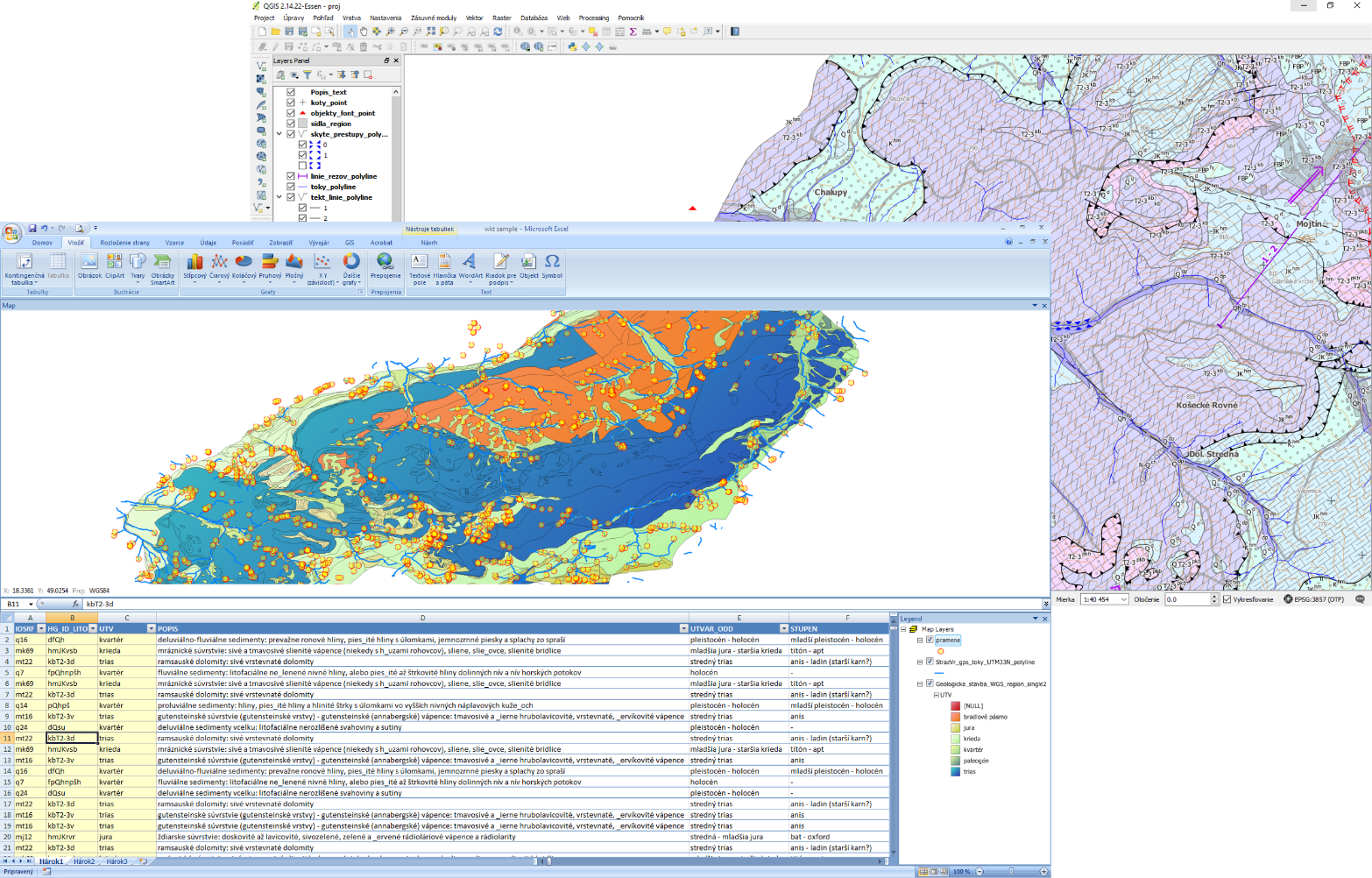
At the very beginning, I created this add-in for myself. Very often I have worked with spatial data that have been stored in Excel files. These have to be visually checked and stored in GIS formats (shapefiles). Final shapefiles were used in other non-GIS programs (e.g. groundwater flow, heat & mass transport modelling).
With classical workflow, it is required to import these Excel data to GIS application, georeference them, edit, select and store as shapefiles. Created shapefiles were opened in the final application. Using the GIS.XL add-in, I skipped the need for a classical GIS app and created datasets I visually explore and store (as shapefiles) directly in Excel. It saved me a lot of time.
The rest of GIS.XL functions is gradually added, directly according to the users requirements. The add-in therefore contains only a carefully selected set of features that are often used at work with spatial data in Excel.