This problem is related with the Excel architecture changes from MDI (Multiple Document Interface) to SDI (Single Document Interface). Add-ins GIS.XL and Map.XL were created for work in the MDI architecture. Sometimes, when you click on the Map or Legend buttons in the ribbon toolbar, required panels was not displayed.
Both add-ins were actualized, and its functionality is now customized automatically in relation to Excel version. In general, I think this transformation from MDI to SDI architecture (in the case of Excel), is a step to back for usability. Very often I work with multiple documents together. But the new interface is configured to work with individual documents. This problem have a lot of people.
If you use add-ins in Excel 2007-2010, nothing changes and you can use them normally - one Map Panel and several spreadsheets. If you use add-in in Excel 2013 – 2016, it will work differently. Since each spreadsheet is opened in a separate window, it is also possible to display the Map and Legend Panel in each Excel window. Subsequently, in each window you can work with GIS interface separately. But if you open the Map panel only in one window, all the functions of ribbon tab GIS (in all windows) work with this one Map Panel (e.g. Add Layer, Excel to GIS). This allows you (at least partially) to use the features of MDI interface (e.g. import data from multiple spreadsheets into one map panel).
This update was made on both add-ins (GIS.XL and Map.XL). Furthermore, I’m rewrite the add-in startup initialization, making the Excel start faster.
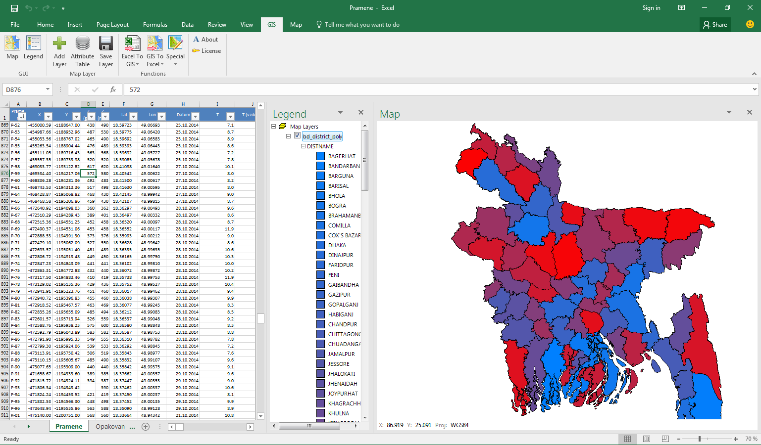
Screenshot of GIS.XL add-in in Excel 2016
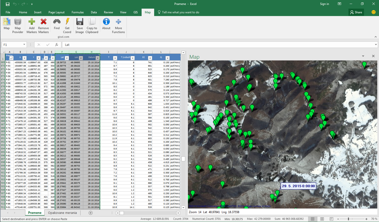
Screenshot of Map.XL add-in in Excel 2016