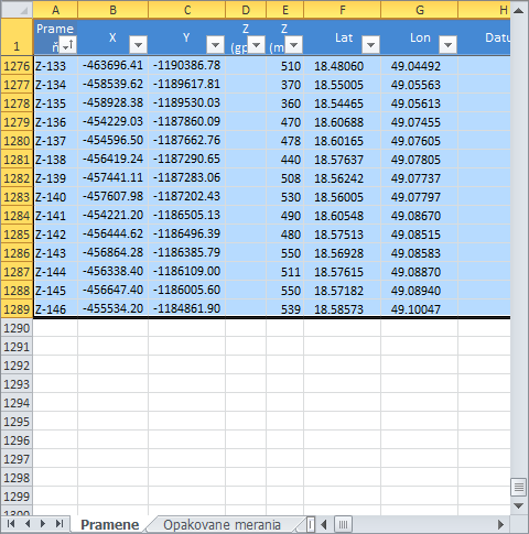
In the first step you must to select your data in Excel spreadsheet. If you want to use all the data in spreadsheet, just press the Ctrl+A shortcut key. In the first row of selected cells must be column names. The second condition is that in columns with coordinates must be only numeric values and these columns cannot contains empty cells.
After data selection click on the button Excel to GIS – Create New Layer to display the following dialog.
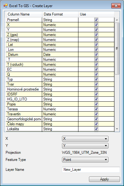
In displayed dialog, you will see selected columns from the spreadsheet with their format (e.g. string, number, ...). Using check boxes, you can choose columns that will be inserted into the new attribute table of created shapefile.
In combo boxes X and Y choose columns that stores coordinates. If you want to create a point shapefile, select in the Feature Typecombo box Point option. Finally, type the name of new shapefile layer and press the Apply button.
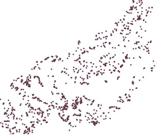
According to your settings a new point shapefile will be created. Created shapefile will be displayed in the Map Panel. If you want to save this shapefile to disk, select them in the Legend Panel and click on the Save Layer button in toolbar.
The following video shows described procedure in practice.