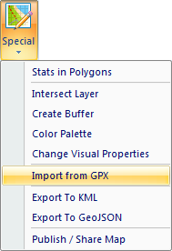
How to Import Data from GPX File to Excel
GIS.XL add-in (from version 2.0) allows you to import spatial data
from GPX files – track points and waypoints into Excel. This feature
can be found in the GIS toolbar tab under the item Special – Import
from GPX.
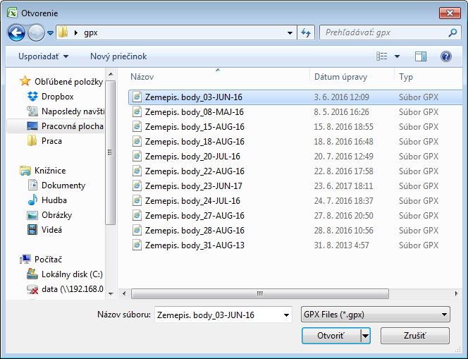
Clicking on this item will display the Open File Dialog, where
you choose the gpx file that you want to import into the Excel.
After import, the program automatically opens and processes selected
file - track points and waypoints together with their coordinates
and related data. Based on these data, GIS.XL creates two point
layers. One will contain track points and the other waypoints.
Related data will be saved to the shapefile attribute table. Layer
names are generated from the GPX file name – track points are named
in "FileName" & "_trackpoints" form and waypoints are labelled as
"FileName" & "_waypoints". An example of imported GPX file is shown
in the following figure.
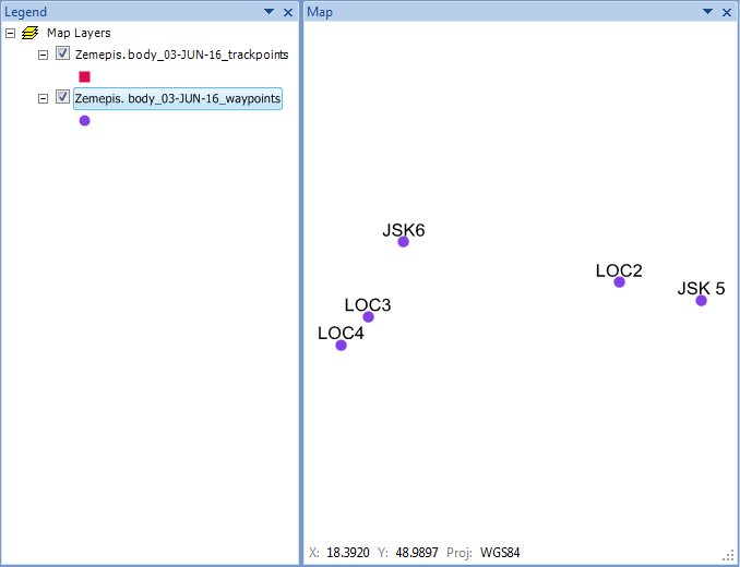
Point labels are created from the GPX data that was stored in
shapefile attribute table.