How to Export Excel Data to GeoJSON File
Add-in GIS.XL allows you to export map data from the Map panel
in vector format – GeoJSON file. This format is useful, especially
if you want to display your spatial data online. GeoJSON format
is supported by a variety of technologies, such as Leaflet.js.
Therefore, this feature was added to GIS.XL 2.0.
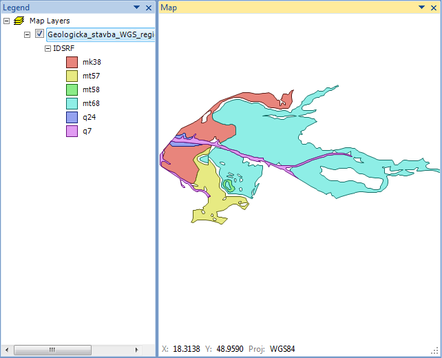
For example, we use the map layer of polygons that are shown in
the following figure. In this case, we display the geological
structure of the selected area in the WGS-84 projection. The color
of individual polygons is defined by the IDSRF column from the
attribute table. In the following part, we’ll show you how to
export this map layer in GeoJSON format.
Add.in GIS.XL 2.0 allows you to export polygons, lines and points
to the GeoJSON file. The current version does not support multipart
features, such as multipoint, multipolygon or multilines. Supported
features are only point, line and polygon. In the case of polygons,
supported are also polygons with holes.
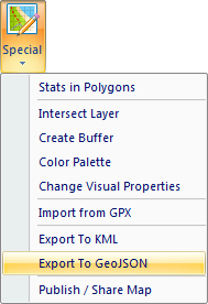
To export data, click on Special – Export to GeoJSON.
Clicking on this item will display the dialog as in the following
figure. In this dialog, you can setup the GeoJSON export. You can
choose from two export modes – Selected Layer of All Visible Layers.
If you set the Selected Layer mode, only one selected map layer
will be exported. In our case, we choose one layer of polygons.
If you choose the second mode – All Visible Layers, the program
exports all map layers from the Map panel (points, lines and polygons)
that are visible (property Visible = TRUE). These layers will be
exported in the same order as they are displayed in the Map Panel.
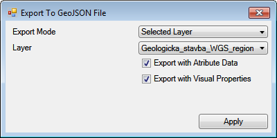
Using the Export with Attribute Data check-box, you can set
whether you want export also the data from the shapefile
attribute table. The second check-box – Export with Visual Properties
define whether the visual properties (supported by GeoJSON
format) will be exported, such as polygons fill color, transparency,
or the border line thickness. If you have set all necessary
parameters, you can click the Apply button to define the name
and location of the GeoJSON file.
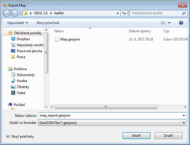
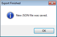
The program export selected spatial data to GeoJSON file and the
export speed depends on the size of shapefile and size of attribute
table. The user is informed about the export finish via a message-box.
The resulting file can be opened in any text editor.
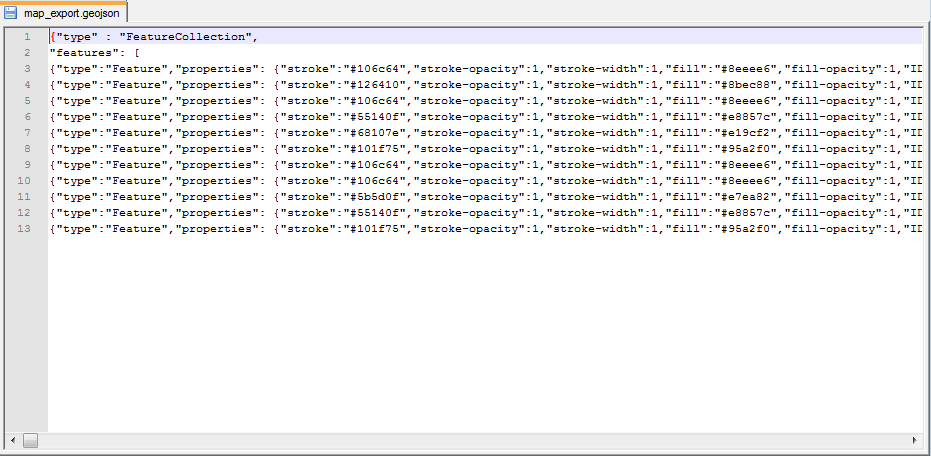
Exported file can be used in other third-party technologies.
An example is visualization using a simple online service for
visualizing GeoJSON data – geojson.io.
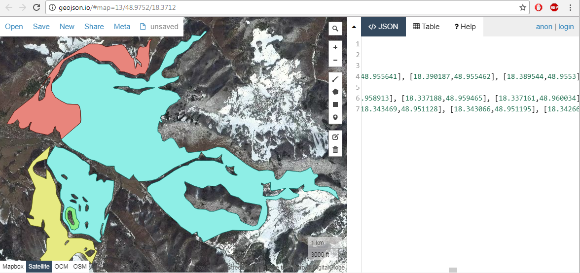
Keep in mind that if you want to visualize your data in the online
environment, you need to have the Map panel projected on the WGS-84
projection (default). If you are using a different projection, GeoJSON
data may not be displayed correctly.