How to Create ShapeFile Buffer
Using this function, you can create buffer polygons around features in
a selected Map Layer. These buffers can be created for points, lines and
polygons. This function is performed in the Map Layer of rivers.
If you want to create a new Map Layer of buffer zones around the rivers
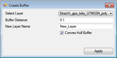
click Special – Create Buffer. The add-in feature displays a dialog with
three adjustable parameters. In the first combo-box choose the map
Selected Layer where you want to create buffers. Then type your numerical
distance value in the Buffer Distance text-box, in the same units as
your coordinate system, and finally type the new Map Layer name.
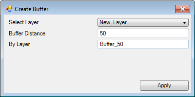
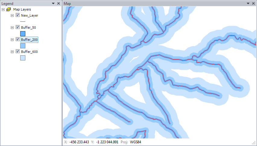
Clicking Apply creates a new layer in the Map panel that contains your
defined buffer polygons. The following figure shows buffers created at
50, 200 and 600 meters.
Remember that your newly created map layers exist only in computer memory.
If you want to use them later outside the Excel add-in, be sure to save
them on a disk.
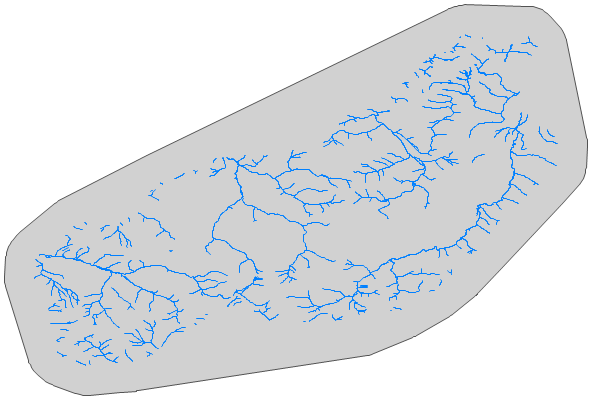
This function (from version 2.0) has one new option – Convex Hull Buffer
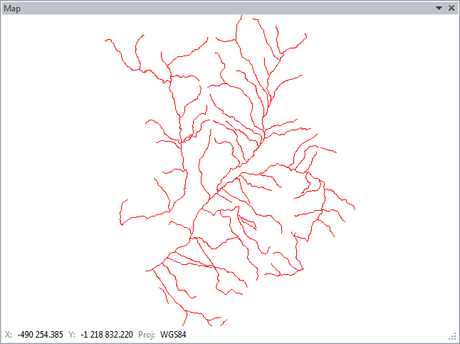
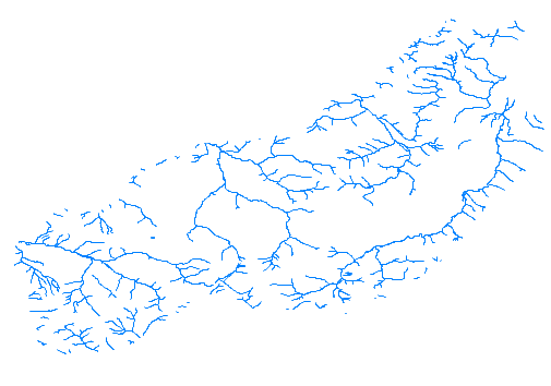
check-box. Its functionality is shown on an example of a line map layer.
This layer displays rivers in selected area.
If you want to create one buffer polygon around the entire displayed
layer and not just around individual rivers, set the Convex Hull Buffer
check-box to TRUE and press the Apply button.
In this case, the program produces a convex hull polygon from a
coordinates of selected layer and then creates a buffer around this
polygon. Finally, this result is saved as a separate polygon layer.
The result is shown in the following figure.