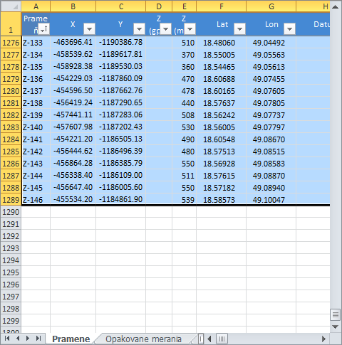
Data Selection in Spreadsheet Before Processing
Data selection in your spreadsheet is essential when you are working with
GIS.XL add-in. If you want to export Excel data into maps or update an
existing map layer, you must know basic technical characteristics about
data selection. If you want to select the entire table, just press Ctrl+A,
but the first row must always contain descriptions (names) of the selected
columns. If the first row has numeric values, the program understands them
as labels. If the first selected row is empty, the program uses Excel column
descriptors as labels (A, B, C)
You can have dynamic Excel formulas, such as "=A2+B2/C2" in your selection,
as well as numbers and strings. Another add-in characteristic is the possibility
to work with filtered data. If you only want to display selected lines in your
map, you can use the built-in Excel feature - Filter. If you want to work
with filtered selection in your table, you can also use this command, because
add-in supports this feature. You can still continue to use individual functions
for selected data in your spreadsheet; and the first function described here is
creating a new map layer.